
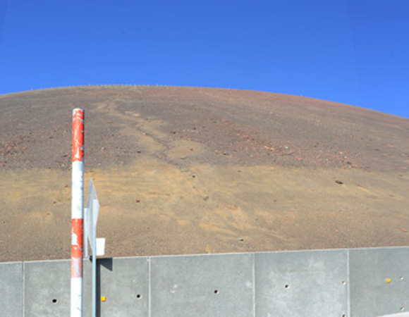
Road cuts have caused erosion gullies, such as the one pictured above, which form and accelerate erosion rates on the mountain. Photo by Marianne Okal, UNAVCO. 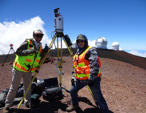
Amber Stillman and Margaux Mellott assist with a scan at the top of Mauna Kea. Photo by Marianne Okal, UNAVCO 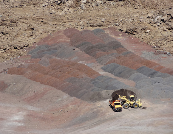
Current practices for erosion control include transporting material back up to the summit. Photo by Marianne Okal, UNAVCO 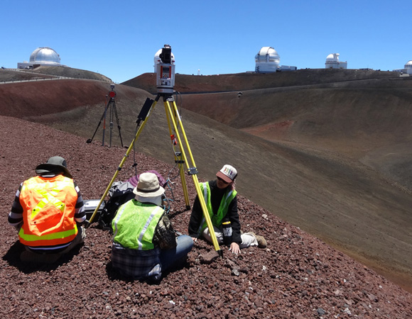
Nathan Stephenson, Margaux Mellott, and Amber Stillman participate in a scan from one cinder cone to the next in order to image the landscape and a handful of observatories. Photo by Marianne Okal, UNAVCO. 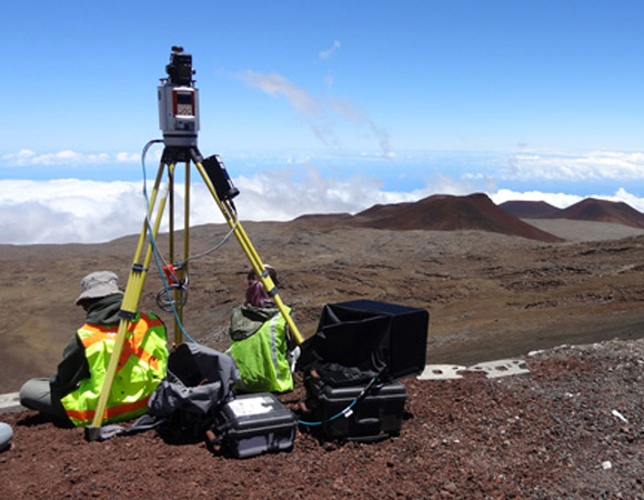
Mauna Kea has over 100 cinder cones such as the ones pictured in the background of this photo. Photo by Marianne Okal, UNAVCO.
Project Overview
Mauna Kea, a dormant 13,800-foot-tall volcano on the Big Island of Hawaii, is experiencing substantial natural and human-caused erosion at its summit. The goal of this project is to monitor these erosion rates by providing a baseline high-resolution topographic map of the summit area to quantify natural and anthropomorphic influences. The project will also help to establish a habitat suitability model for the Wekiu bug, a rare endemic invertebrate species that is only found on Mauna Kea.
Additionally, the topographic map will enhance and contribute to models of paleoclimate, permafrost and glacial geomorphology studies of the area. Mauna Kea has experienced three glaciation periods dating from 70,000 to 13,000 years ago.
Significance
The summit area of Mauna Kea is a unique place to scientists and native Hawaiians; it is host to thirteen premiere astronomical observatories and is also a sacred place in the native Hawaiian culture.
Telescope construction and human activity at the summit have resulted in substantial landscape disturbance and erosion, and one of the project goals is to understand how human activity and erosion control measures affect naturally occurring erosion.
Terrestrial laser scanning (TLS) data will provide a 3D topographic baseline against which future surveys can be compared to determine natural and human-caused erosion rates. Effective monitoring and control measures can then be developed to help mitigate erosion.
Also, the summit of Mauna Kea is the only natural habitat of the Wekiu bug, a flightless invertebrate that was recently removed as a candidate species in need of Endangered Species Act protection. Wekiu bugs prefer porous rock-cinder environments and TLS is a useful tool for creating high-resolution maps of this type of habitat.
Additional Surveys
The project will employ a number of other topographic remote sensing tools, such as using unmanned aerial vehicles (UAV) photography to derive structure from motion (SFM) and time-lapse photography to monitor select sites. Repeat imagery for both TLS and photogrammetry will provide rates of change and identify problem areas.
Project Information
- Principal Investigators:
Ryan Perroy (University of Hawaii at Hilo) - UNAVCO Engineer: Marianne Okal
- Dates: August 19 – 28, 2014
- Location(s): Mauna Kea summit area, Big Island, Hawaii
- Funding Source: Office of Mauna Kea Management
Related Links
Written by:
- Marianne Okal
- Posted: 19 September 2014
- Last updated: 28 June 2021
- Tags: project highlights, TLS
-

