
Reinvigorating the Tanzania Volcano Observatory GNSS Network 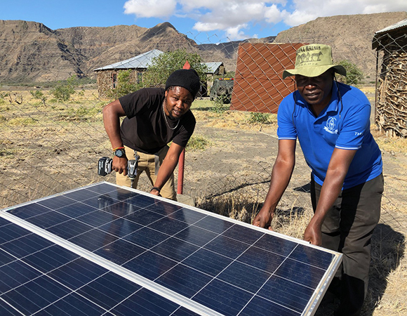
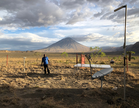
Rasta (Land Cruiser driver and mechanic) and Kristof (left and right, respectively) installing the new solar array at the Ol Doinyo Lengai GNSS network hub near Engaresero, Tanzania. (Photo/John Galetzka) 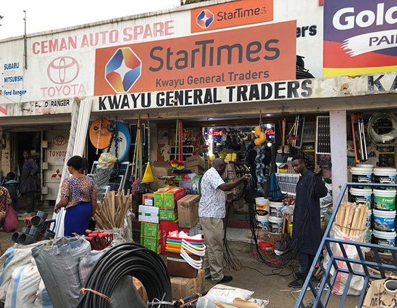
Kristof Nkembo (in white shirt) buying materials in Arusha, Tanzania. (Photo/John Galetzka, UNAVCO) 
The Land Cruiser temporarily stuck in a sandy streambed on the way to GNSS station OLO8. (Photo/John Galetzka, UNAVCO) 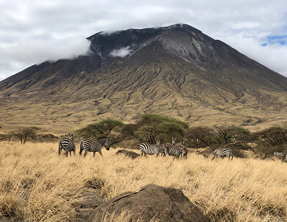
Zebras on the east side of Ol Doinyo Lengai. (Photo/John Galetzka, UNAVCO) 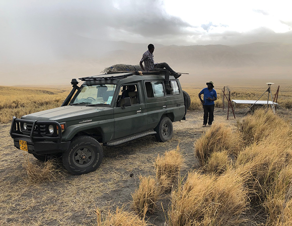
Packing up at GNSS station OLO7 before getting stuck by rain and potential flash floods. (Photo/John Galetzka, UNAVCO) 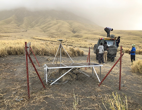
Completed reinstallation of GNSS station OLO7 on the south flank of Ol Doinyo Lengai. (Photo/John Galetzka, UNAVCO) 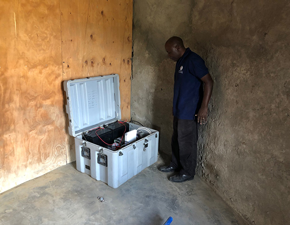
Kristof Nkembo doing final inspection of the consolidated GNSS and satellite communication equipment enclosure at the network hub near Engaresero, Tanzania. (Photo/John Galetzka, UNAVCO) 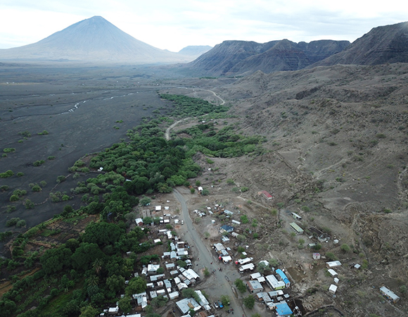
Image taken by a UAS above Engaresero looking south along the Natron Fault with Ol Doinyo Lengai in the distance to the left. (Photo/John Galetzka, UNAVCO)
Project Overview
Ol Doinyo Lengai, a frequently active volcano in northern Tanzania, is instrumented with a real-time GNSS network to understand transient behavior and the relationship between volcanism and rifting. The data are telemetered to UNAVCO and then distributed free with open access through the UNAVCO Data Archive as well as the Tanzania Volcano Observatory CHORDS Portal.
UNAVCO Support
John Galetza of UNAVCO and Mr. Kristof Nkembo of Ardhi University completed repairs, maintenance, and upgrades to the existing GNSS monitoring network around Ol Doinyo Lengai. The work included replacing faulty solar charge controllers and dead batteries; reconstructing all solar panel arrays so as to provide shading to hardware and battery enclosures; vegetation control to prevent damage in the event of wildfire; re-organizing power, telemetry and GNSS systems at the communication hub and reference station near the village of Engaresero; and reinstalling two GNSS stations on the south side of the volcano which were removed under threat of vandalism earlier this year.
Project Information
- Principal Investigator(s): Dr. D. Sarah Stamps, Virginia Tech; Dr. Elifuraha Saria, Ardhi University; and Dr. Kang-Hyeun Ji, KIGAM
- UNAVCO Staff: John Galetzka
- Dates: October 22-31, 2019
- Location: Ol Doinyo Lengai Volcano, Tanzania
- Funding Source: NSF EarthCube
- Map of Ol Doinyo Lengai Volcano, Tanzania
Related Links
Written by:
- John Galetzka and Beth Bartel
- Posted: 30 March 2020
- Last updated: 4 June 2021
- Tags: CHORDS, GPS/GNSS, project highlights
-

