
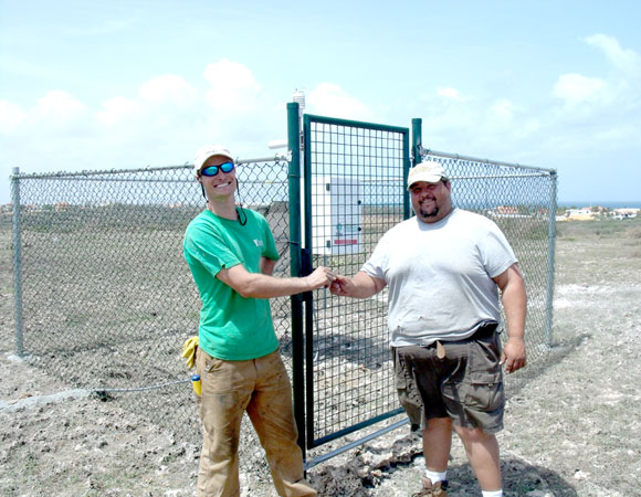
UNAVCO Field Engineer Mike Fend share the key to the final cGPS site with Aruban technician Lesandro Arends. Photo provided by Mike Fend 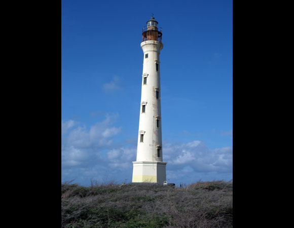
The California Lighthouse, located at the Northwest tip of the island of Aruba. The cGPS station was installed near this lighthouse. Photo by Lisandro 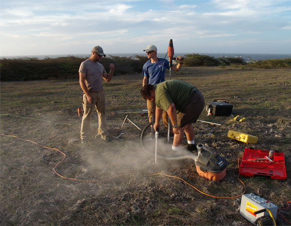
UNAVCO Field Engineers John Sandru and Mike Fend work with weather observer, Lisandro Arends, prepare to install the cGPS site. Photo provided by Mike Fend 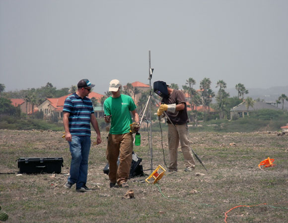
Setting up cGPS site CN19. Photo by Mike Fend 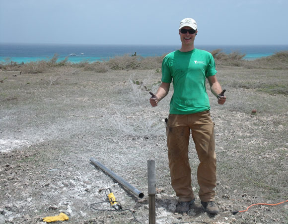
UNAVCO Field Engineer Mike Fend working on cGPS site CN19. Photo provided by Mike Fend 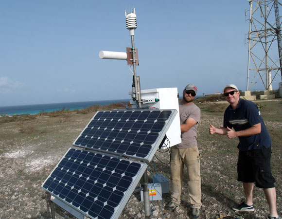
UNAVCO Field Engineer John Sandru and Jerrick van der Weide, Apprentice Observer, show off the final cGPS site CN19. Photo by Mike Fend
Project Overview
Determining how the Caribbean plate moves with respect to the neighboring North America and South America plates has been a major challenge. Geologic plate motion models using seafloor magnetic anomaly rates, transform fault azimuths, and slip vectors are challenging due to sparse data. The only rates come from the Cayman Spreading Center, and seismicity at the eastern boundary is low due to slow convergence. Moreover, the boundary geometry is still unclear, since the Caribbean plate’s north and south boundaries are complex deformation zones.
GPS data continues to provide key clues to the Caribbean region’s geologic faults. GPS stations are currently being installed as part of the Continuously Operating Caribbean GPS Observational Network (COCONet), strengthening the indispensible collection of data belonging to a region that faces many atmospheric and geologic natural hazards.
UNAVCO Connection
By collaborating with the Meteorological Department of Aruba, UNAVCO engineers were able to install another cGPS site in the Caribbean. Aruba sits 17 miles north of the Venezuelan coast, is 20 miles long, and is part of the Leeward Antilles. The site is located on the Northwest tip of the island near the California Lighthouse. Every year thousands of tourists come to visit the light house, and now this new cGPS installment. Equipped with an informative sign, this site will provide geodesy science outreach to the thousands of tourists who visit the area each year.
Significance
The COCONet project was funded by the National Science Foundation (NSF) with the aim of developing a large-scale geodetic and atmospheric infrastructure in the Caribbean that will form the backbone for a broad range of geoscience and atmospheric investigations and enable research on process-oriented science questions with direct relevance to geohazards. The Caribbean Plate is a unique opportunity to monitor movement, because most of the plate rests underwater. Prior to this endeavor there has been limited monitoring of the Caribbean Plate. Furthermore, each site is equipped with a weather station which records vital atmospheric data that is analyzed by our friends at the University Corporation for Atmospheric Research (UCAR) to monitor the movement of potentially deadly hurricanes.
Project Information
- Principal Investigators: COCONet
- UNAVCO Engineers: John Sandru, Mike Fend
- Date: June 2 — 9, 2013
- Locations: COCONet Site CN19: Aruba
- Funding Source: NSF, COCONet
- Map of Aruba
Related Links
Written by:
- Mike Fend
- Posted: 16 October 2013
- Last updated: 6 July 2021
- Tags: COCONet, GPS/GNSS, project highlights
-

