
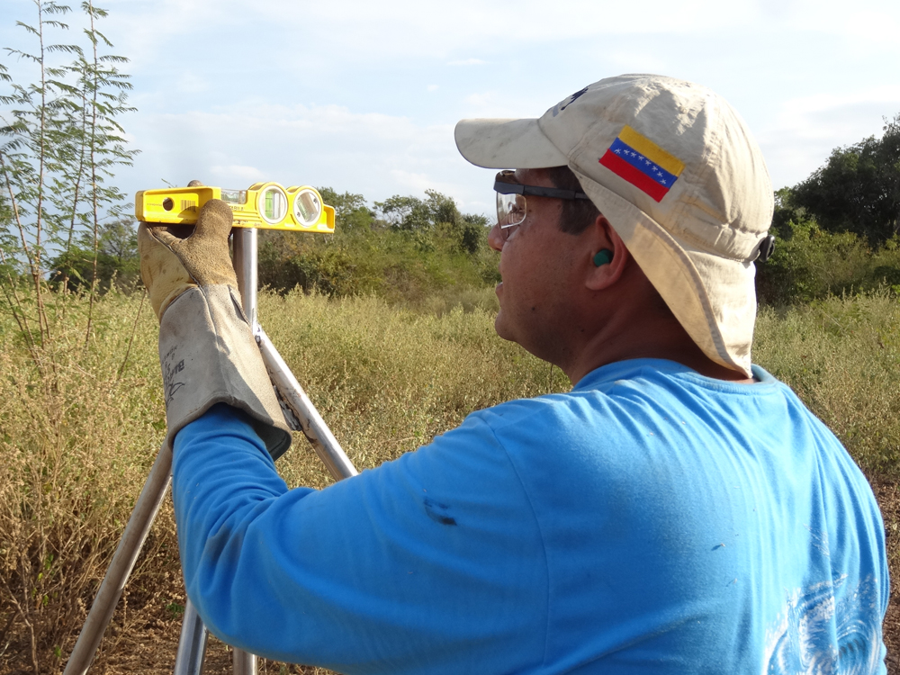
Ricardo Lopez of FUNVISIS checks level of the short drilled-braced monument for station CN39. (Photo/Franck Audemard) 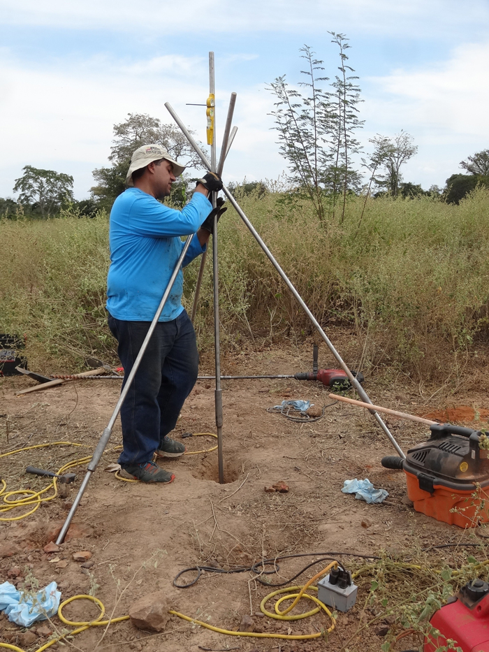
Preparing the legs of the CN39 monument for welding. (Photo/Franck Audemard). 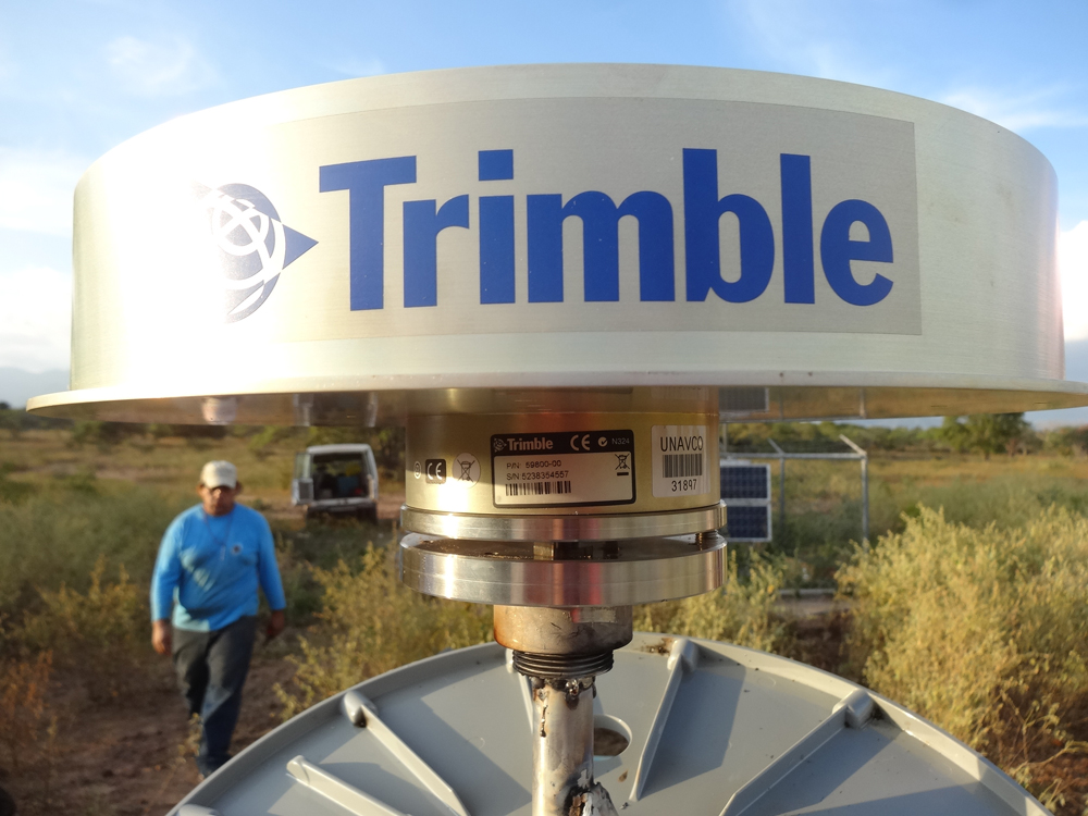
Chokering antennas are used throughout COCONet, protected by SCIGN domes. (Photo/Franck Audemard) 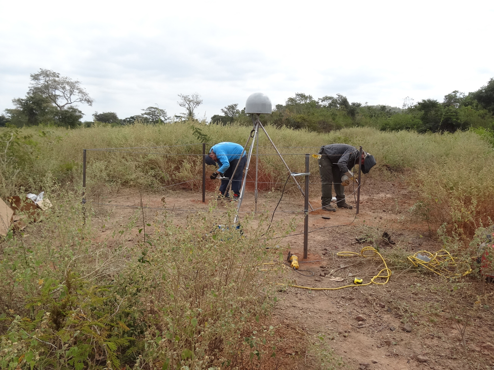
Building a fence to protect station CN39. (Photo/Franck Audemard). 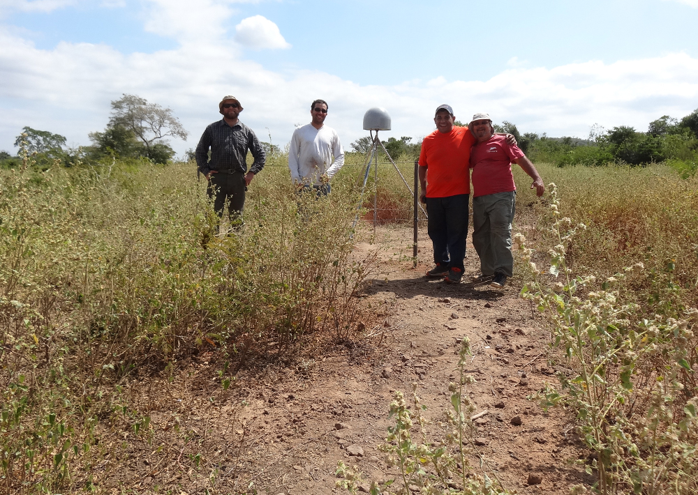
The installation team at completed site CN39. 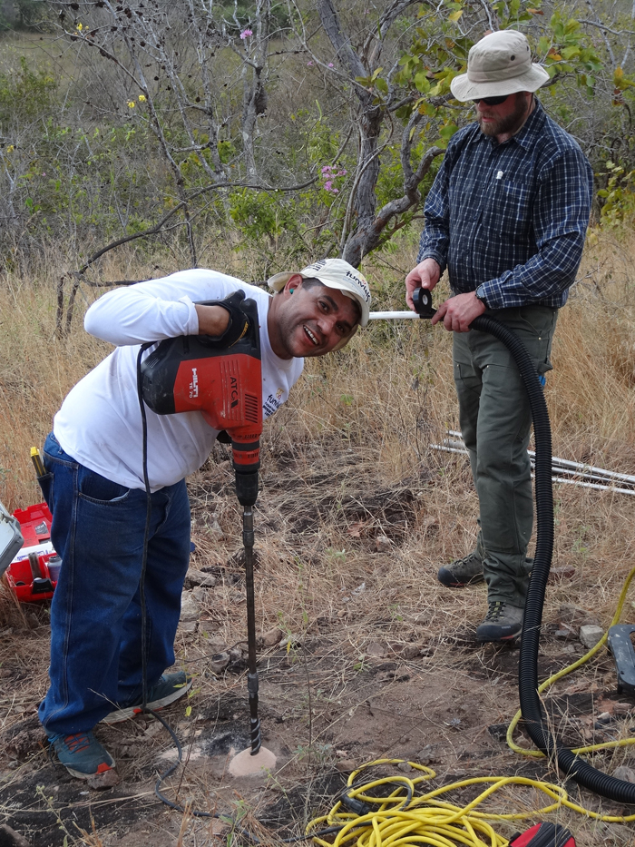
Ricardo Lopez of FUNVISIS takes a break from drilling to install the legs of the short drilled-braced monument for station CN41. (Photo/Franck Audemard) 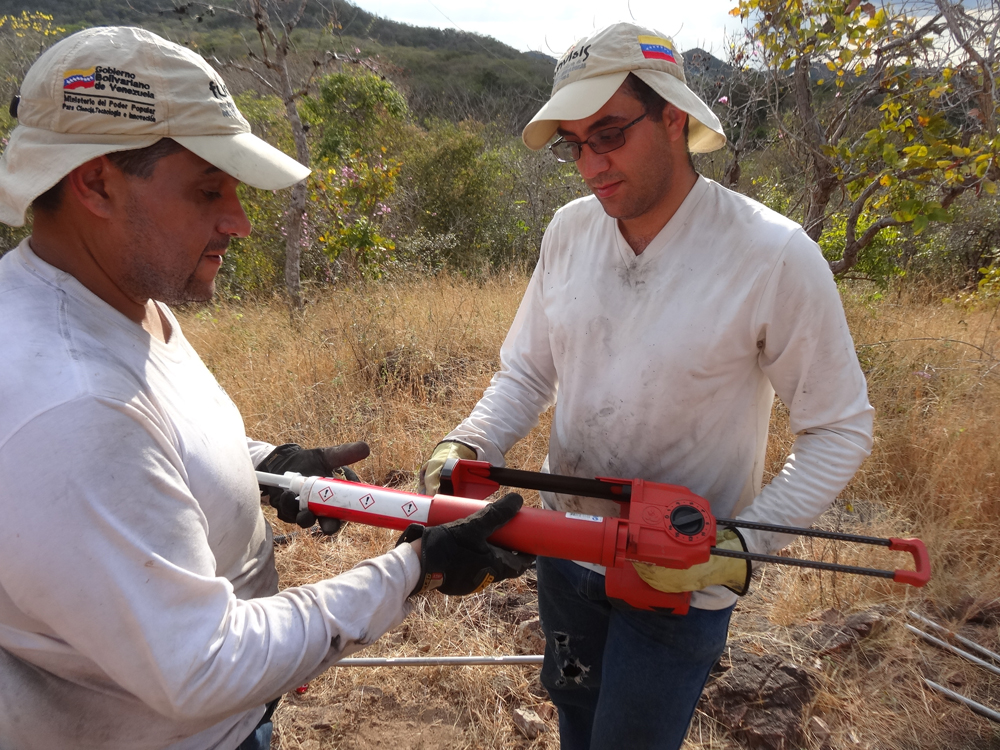
Preparing the epoxy gun for installation of the monument legs at site CN41. (Photo/Franck Audemard) 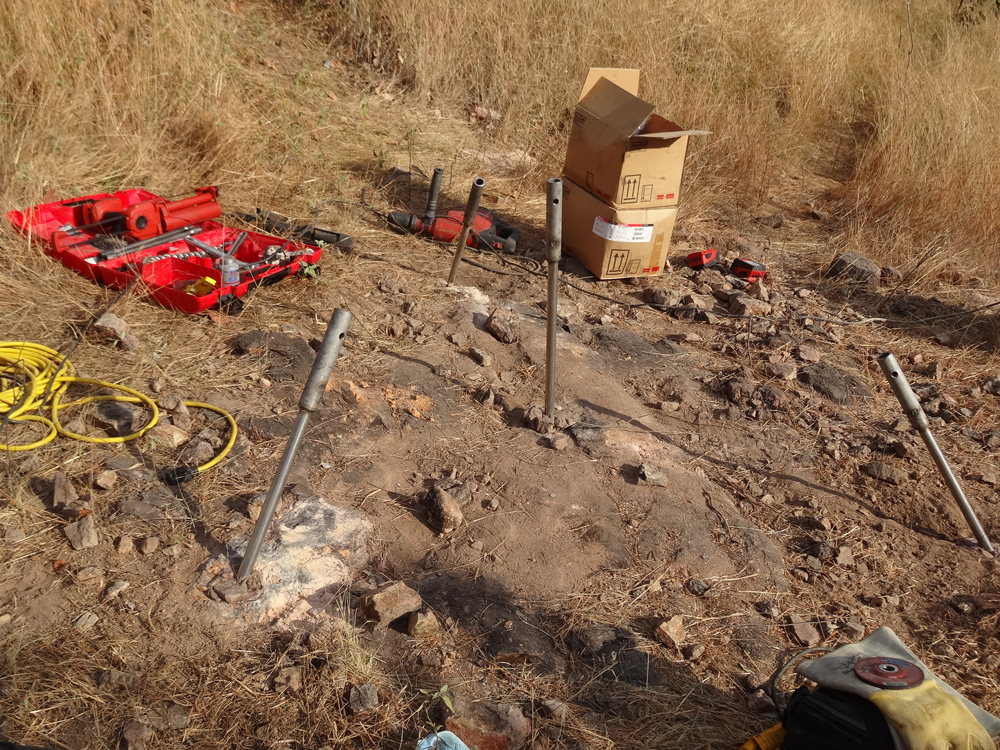
For ease of shipping, some monuments in COCONet are built with short lengths of stainless steel rod coupled together. (Photo/Franck Audemard) 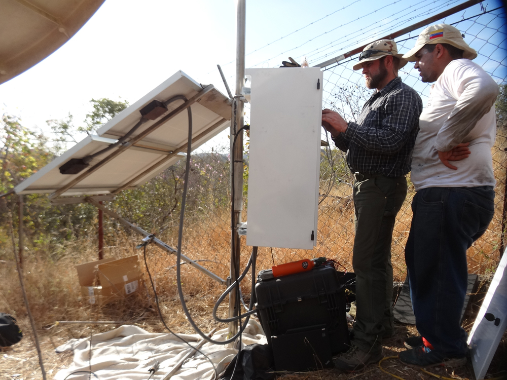
John Sandru of UNAVCO and Ricardo Lopez of FUNVISIS configure the GPS receiver. (Photo/Franck Audemard) 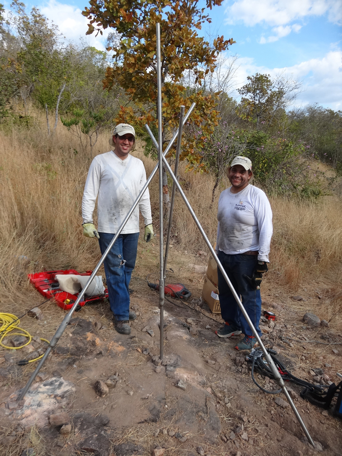
Ricardo Lopez and Antonio Rodriquez of FUNVISIS prepare the monument legs for welding at CN41. (Photo/Franck Audemard) 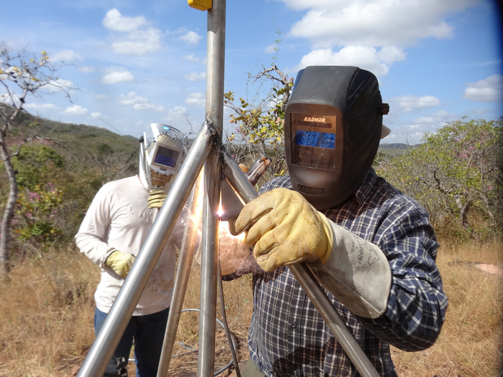
UNAVCO field engineer John Sandru works on welding the monument for CN41. Others also participated. A primary goal of installations in Venezuela is knowledge transfer. (Photo/Franck Audemard) 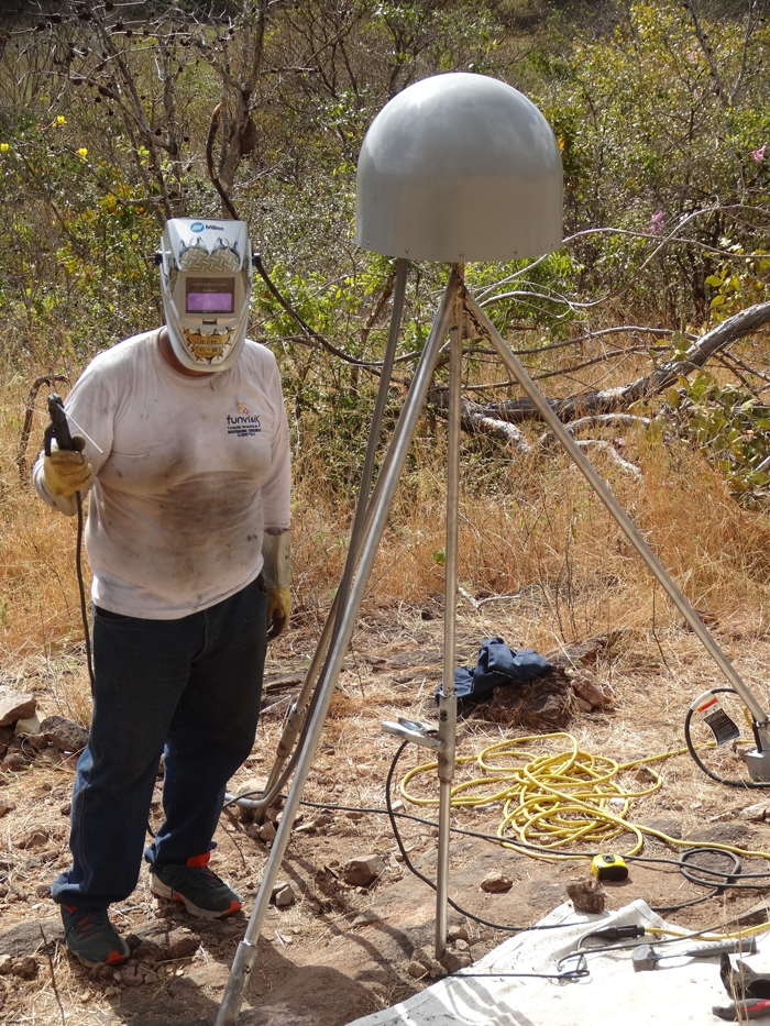
Ricardo Lopez of FUNVISIS works on CN41 finishing touches. (Photo/Franck Audemard)
Overview
Determining how the Caribbean plate moves with respect to the neighboring North America and South America plates has been a major challenge. Geologic plate motion models using seafloor magnetic anomaly rates, transform fault azimuths, and slip vectors are challenging due to sparse data. The only rates come from the Cayman Spreading Center, and seismicity at the eastern boundary is low due to slow convergence. Moreover, the boundary geometry is still unclear, since the Caribbean plate’s north and south boundaries are complex deformation zones.
GPS data continues to provide key clues to the Caribbean region’s geologic faults. GPS stations are currently being installed as part of the Continuously Operating Caribbean GPS Observational Network (COCONet), strengthening the indispensable collection of data belonging to a region that faces many atmospheric and geologic natural hazards.
UNAVCO Connection
UNAVCO worked with the Fundación Venezolana de Investigaciones Sismológicas (funvisis) to install two of six new COCONet GPS sites in Venezuela: sites CN39 – Quebrada Arriba and CN41 – El Baul. The sites were installed during daytime temperatures around 40°C, or 105°F, making midday work extremely difficult. Data are flowing from CN39 despite a slow Internet connection; we are currently troubleshooting a communications failure at CN41.
We plan on installing two additional GPS sites in March 2015: CN43 – Isla La Blanquilla and CN42 – Los Roques. An additional site will be upgraded to COCONet standards.
Significance
The COCONet project was funded by the National Science Foundation (NSF) with the aim of developing a large-scale geodetic and atmospheric infrastructure in the Caribbean that will form the backbone for a broad range of geoscience and atmospheric investigations and enable research on process-oriented science questions with direct relevance to geohazards. The Caribbean Plate is a unique opportunity to monitor movement, because most of the plate rests underwater. Prior to this endeavor there has been limited monitoring of the Caribbean Plate. Furthermore, each site is equipped with a weather station which records vital atmospheric data that is analyzed by our friends at the University Corporation for Atmospheric Research (UCAR) to monitor the movement of potentially deadly hurricanes.
Project Information
- Principal Investigators: COCONet
- UNAVCO Engineer(s): John Sandru
- Date: January 12 – 23, 2015
- Locations: El Baul, Hato Pintero Venezuela and Quebrada Arriba, Venezuela (map)
- Funding Source: NSF, COCONet
Related Links
Written by:
- John Sandru and Beth Bartel
- Posted: 11 February 2015
- Last updated: 25 June 2021
- Tags: GPS/GNSS, project highlights
-

